

The National Geographic Institute (Institut géographique national, IGN) has just made 250 years of historical maps of Belgium available free of charge. Its app could spark your curiosity, and might even prove useful before you buy a property!
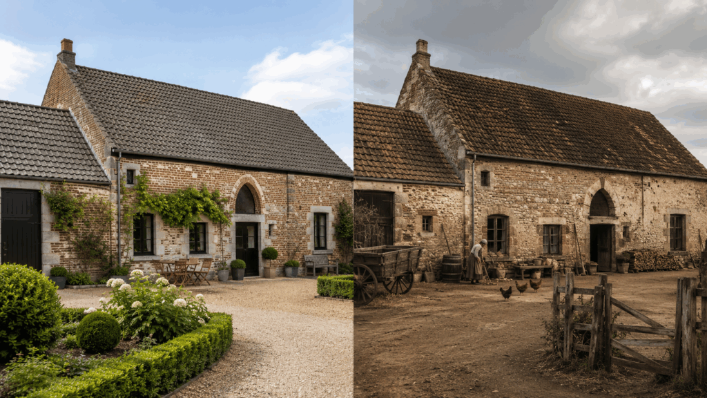
Launched to mark the National Geographic Institute’s 50th anniversary, Topoferrarisviewer overlays 8 map layers spanning nearly 250 years. The oldest is the Ferraris map, surveyed between 1770 and 1778 and hand-drawn by officer cadets on 275 sheets at a scale of 1:11,520. It is the first systematic mapping of Belgian territory, and its accuracy is still surprising today.
Here’s how it works: type in an address, display two periods side by side or overlaid, and the two views stay synchronized. It is all free, with no account or installation needed, at topoferraris.ngi.be.
Why historical maps of Belgium could interest buyers
You might think this is a bit of a stretch, but land holds traces of its past, and old maps can reveal them. Think of a stream now hidden beneath structures on stilts or diverted, a pond or marshy area filled in during the 19th century, an old quarry, a sand pit or a small pond that has been filled in. Even a vanished mill suggests the presence of a millrace, a channel carrying water to it. These features do not appear in property listings, but they could explain a damp basement, ground that is settling or a garden that floods with every storm.
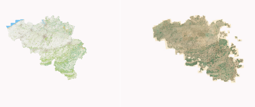
The Ferraris map precisely details land use, settlement, waterways, roads and parish boundaries. The later layers then show how the neighborhood was built up, and how quickly.
That said, an 18th-century map has no legal standing and does not remove the need for any checks. It is no substitute for a soil certificate (certificat du sol), consulting official flood zones (zones inondables), obtaining municipal planning information (renseignements urbanistiques) or having a professional carry out an inspection.
A tool to take on a walk, too
The app is also available on Google Play and the App Store, with the option to import a GPX track. It accompanies the guide Explore Belgium with Ferraris’s historical maps (Explorez la Belgique avec les cartes historiques de Ferraris), published by Racine, as well as two atlases published with Lannoo and the Royal Library of Belgium (Bibliothèque royale de Belgique) in August 2026.
 Open Immovlan